- Startsida
- En
- Experience
- Nature and the outdoor life
- Hallandsleden – 435 km hiking trail
Hallandsleden – 435 km hiking trail
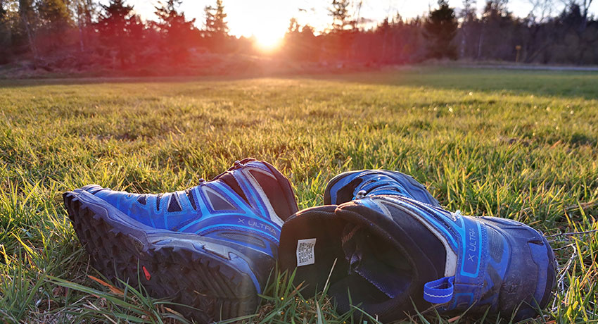
Do you want to try the wilderness life for a few days or just take a day trip out into the countryside? The Halland Trail offers something for everyone. Lace up a pair of comfortable shoes and get ready to discover Halland's beautiful countryside on foot!
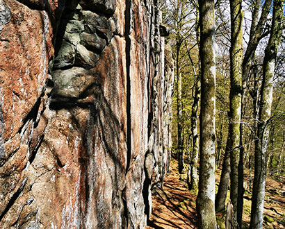
The Halland Trail is a total of 435 kilometres long and has three parts that spread over 26 stages. The trail consists of varied terrain with coniferous and deciduous forests and a scenic environment with heathland and cultivated landscapes. Sometimes you walk on paths, sometimes on forest roads and in some places the road is asphalt. In some places, nature along the trail is completely untouched.
The three parts of the Halland Trail
- The northern part,
 External link, opens in new window. which runs through Kungsbacka and Varberg.
 - The central part,
 External link. which runs through Falkenberg and Hylte.
 - The southern part,
 External link, opens in new window. which runs through Halmstad and Laholm. You choose between an eastern and a western stretch. The trail follows old routes with lots of traces of culture and history.
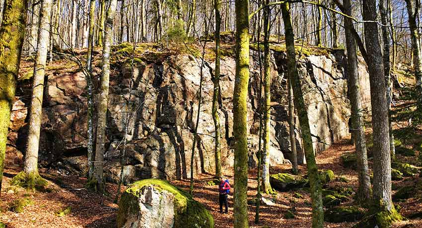
Bread nature reserves
Both for some wilderness life and day trips
Whether you're a seasoned hiker or you're looking for a short adventure for the day, the Halland Trail is perfect. You put together your own trip from stages that are of varying length and difficulty. It is of course also possible to combine several stages for a multi-day hike with overnight accommodation at one of the accommodation facilities along the trail.
If you want to maximise the wilderness feeling, you can sleep at a campsite. There are campsites at the end of each stage. The prepared campsites have shelters, dry toilets and fireplaces. Be sure to update yourself on what applies for lighting fires in the open, for example, during your visit. See our tour tips below.
Three tour tips along the trail in Halmstad
Here we have created three tour tips for you. Visit Hallandsleden.se External link, opens in new window. for detailed maps, more inspiration and more hiking suggestions.
Short day trip
Frodeparken-Döbla, 7 kilometres
Since this is a short stage, you can take the opportunity to walk around for a while among Frodeparken's old and tall beeches if you want to make the stage a little longer. Then you make your way down into the Slissån valley and after walking a short distance through farmland, a gradual climb up to Almeberget and on to Döbla awaits. If you wish to go further, continue along the Halland Trail towards Oskarström (Where you can easily hop on a Hallandstrafik bus (swe)) External link, opens in new window. and Ryet (15km)
 External link, opens in new window.. Read more about the stage Frodeparken–Döbla on hallandsleden.se.
 External link, opens in new window.
You can find more tips on day trips on our page Superb day trips on foot.
Longer day trip
Sandsjön-Gyltige-Kvarnforsen, 31 kilometres
A beautiful and somewhat longer one-day stage that goes through Kvarnforsen, with lakes, coniferous forests and marshlands. On its way south, the trail follows a country road on the elevated Baggåsen section, which is almost 50 metres above the surroundings. At Ynnabo, the trail turns south and enters a landscape dominated by lakes, coniferous forests and marshes. The area has a rich wildlife with moose, deer and forest and water birds. The last part of the stretch follows the Fylleån valley to the shelter in Gyltige. Read more about the Sandsjön–Gyltige–Kvarnforsen stage on hallandsleden.se. External link, opens in new window.
More tips on longer hiking tours in Halmstad can be found on our page Hiking in Halmstad.
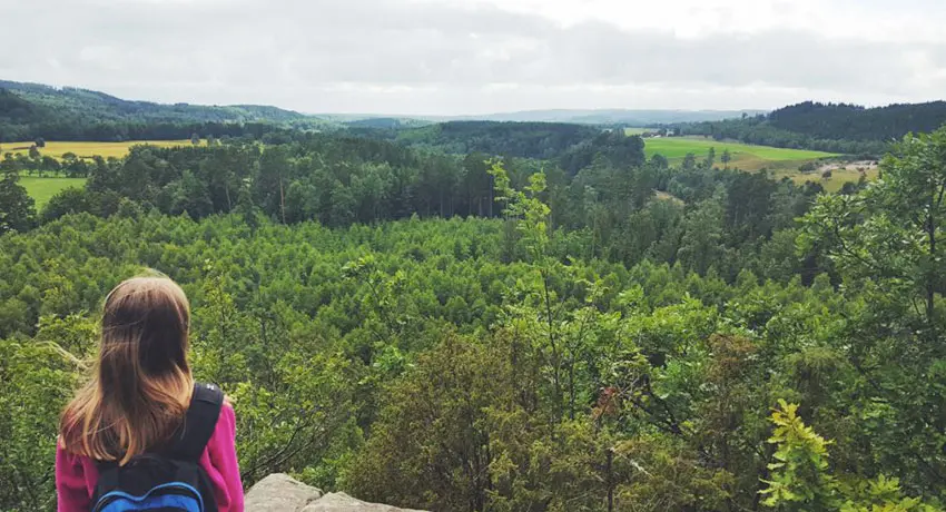
Virsehatt. Photo: Åse Ahlstrand
Weekend hike
From Virsehatt's miles-wide views to Mässtocka rolling heathland, 46 kilometres
This tour consists of three stages: Ryet–Gytlige External link, opens in new window. 16 km, Gyltige–Assman
 External link, opens in new window. 13 km and Assman–Mässtocka
 External link, opens in new window. 17 km. You take the bus to Oskarström and start the hike by walking the last bit of the stage Döbla–Ryet
 External link, opens in new window.. After about five kilometres you are in Virsehatt Nature Reserve. Climb the 70-metre high upland and enjoy the incredible views. The walk then continues to Ryet campsite and on through woodland and marshes. You go down towards the Fylleån valley and pass several small villages.
The walk continues along the embankment of the former Bolmenbanan railway. You continue along the rift valley between the four elongated lakes Gyltigesjön, Töddesjön, Simlången and Brearedssjön. In Hule Norra Nature Reserve External link, opens in new window. you walk across a cultural landscape that has been used for a long time by people. As you pass the Simlångsdalen community, nature changes. There is more mixed forest. You pass Danska Fall with its interesting history.
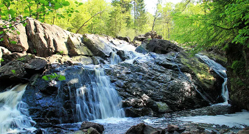
Danska fall nature reserve
The walk continues via Gårdshult Nature Reserve External link, opens in new window. where nature is partly wild and partly consists of an old natural landscape that is still cultivated in the old way. The landscape continues along a moraine ridge and one of southern Sweden's largest wetland areas. The tour ends in Mässtoka heathland
 External link, opens in new window. in Laholm where Halland’s provincial flower – hairy greenweed – may be glimpsed. If you want to take the bus home, continue for one more stage (Mässtoka–Västralt
 External link, opens in new window. 20km) and travel home by Hallandstrafik
 External link, opens in new window. bus from Knäred.
Overnight accommodation
There are a number of choices for overnight stays. Try the cosy Tallhöjden Värdshus External link, opens in new window. in Simlångsdalen (Assman). Paulsson Paleo
 External link, opens in new window. (not far from from Assman) offers, in addition to a relaxing stay, kayaking, yogo, cooking courses and running tours. At Vinnalt
 External link, opens in new window. just north of Simlångsdalen (between Gyltige and Assman) you can stay in attractive log cabins. Here too, you have plenty of activities to choose from with everything from forest bathing and canoeing to fishing and wildlife spotting. Do you want to stay close to nature and care for yourself? Then we recommend the shelter in Gyltige.
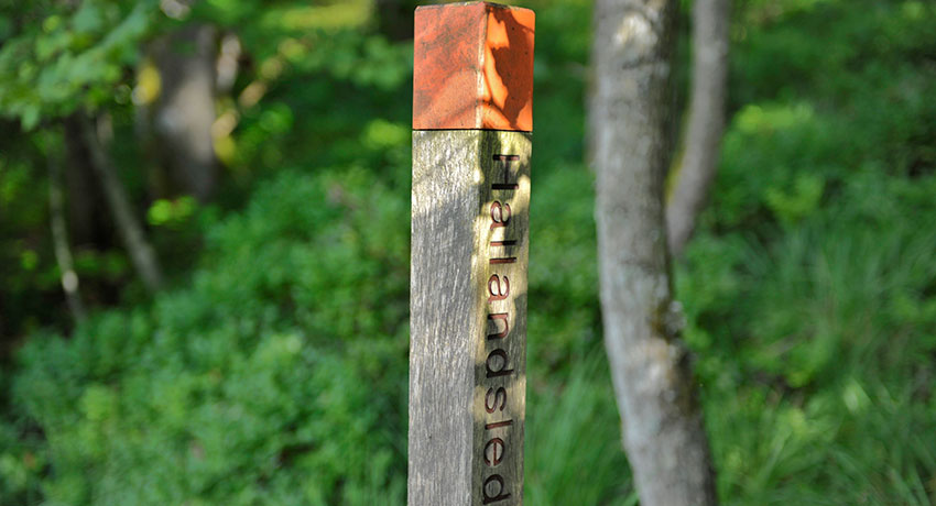
Photo: Mostphotos
Stages, signs and connecting trails
Stages
The southern part, which runs through Halmstad and Laholm, consists of ten stages. Seven of the stages pass through Halmstad Municipality. The southern part External link, opens in new window. takes you from Frodeparken in Asige down to Koarp in southern Halland. Whichever stage you choose, the Halland Trail guarantees fantastic nature with a varied landscape. Hiking is a versatile activity for the whole family that offers both exercise and wonderful experiences of nature!
Northward from Simlångsdalen is the Assman–Gyltige stage External link, opens in new window. (13 km). In Gyltige, the trail divides into two. The eastern trail continues in the Gylige–Kvarnforsen–Sandsjön stage
 External link, opens in new window. (31km). The western trail continues along Gyltige–Ryet
 External link, opens in new window. (16 km), Ryet–Döbla
 External link, opens in new window. (15 km) and then Döbla–Frodeparken
 External link, opens in new window. (7 km). If you instead continue south from Simlångsdalen, you follow the Assman–Mästocka stage
 External link, opens in new window. (17km). From Simlångsdalen you can also follow the trail west to Halmstad city, Halmstad–Simlångsdalen
 External link, opens in new window. (18km).
More detailed information about the stages and maps can be found on Hallandsleden.se External link, opens in new window..
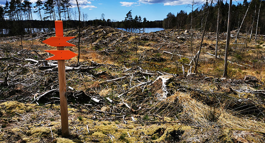
Signs
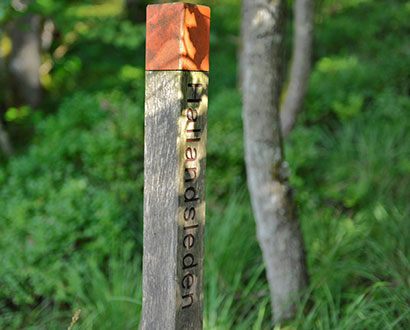
The trail is clearly signposted and you follow it easily with the aid of an orange mark on trees, poles and stones. There are also blue guidance signs with white text. For the curious, many of the sights also have information signs.
Connecting trails
The Halland Trail is linked to the Skåne Trail in the south and the Bohus Trail in the north. On the way through Halland the trail divides into an eastern and in a western route at Gyltinge, which lies north of Simlångsdalen. On our page Hiking in Halmstad you will find tips for shorter trails that you can combine with your hike along the Halland Trail to get that little bit extra out of the experience. Here we tell you about Prins Bertil's Trail, Gyltige and Biskostorp (Swe) External link, opens in new window.. There are also tips for shorter tours on the page Superb day trips on foot. Two tours that are suitable as shorter detours are Around Brearedsjön and Around Simlången (Swe).
A collaboration
The Halland Trail is a collaboration between Region Halland and the municipalities of Laholm, Halmstad, Hylte, Falkenberg, Varberg and Kungsbacka.
More nature and the outdoor life
Gems!
-
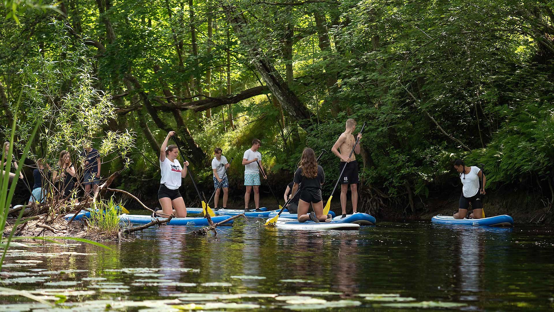
SUP Adventure along Fylleån
-
Prins Bertils stig – The 18-km walking trail
-
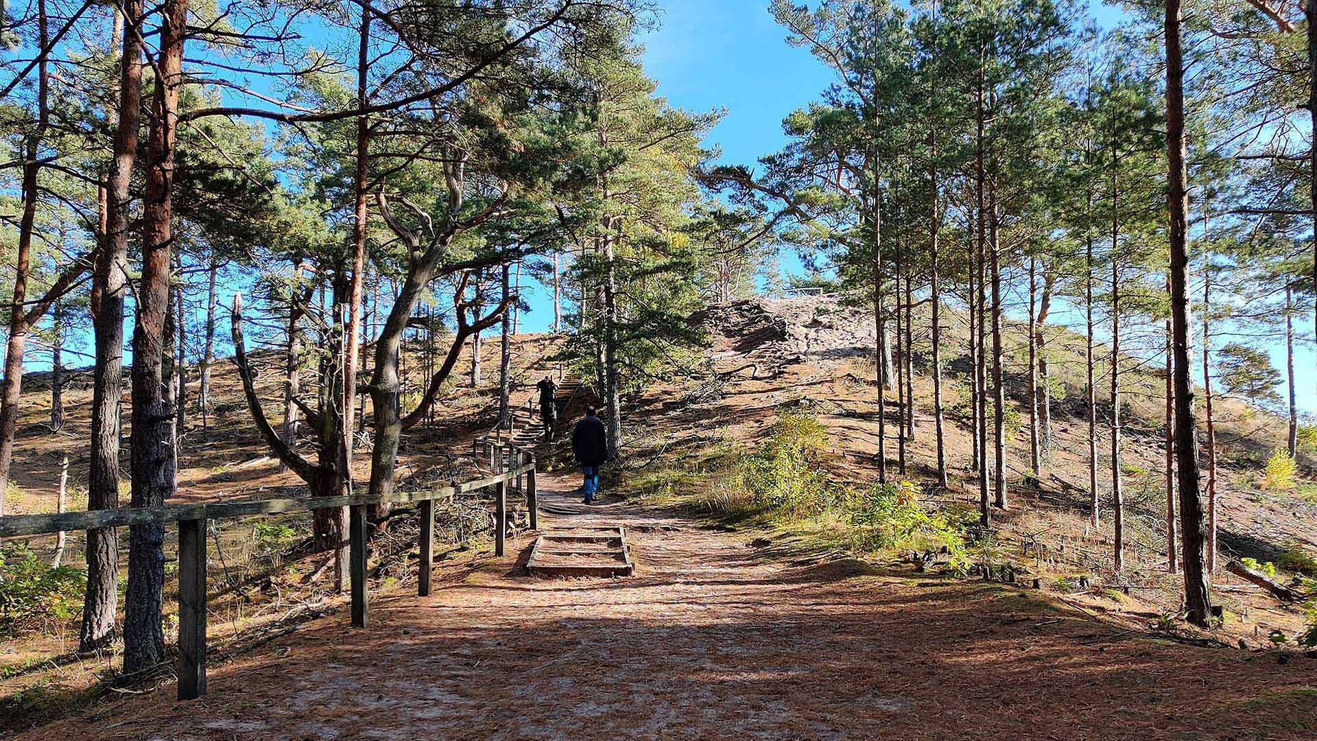
Lynga sand dune
-
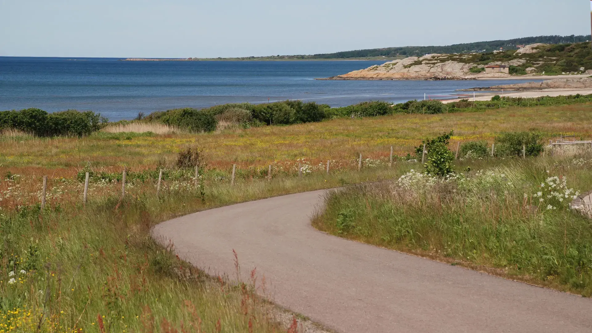
Halland coastal road
-
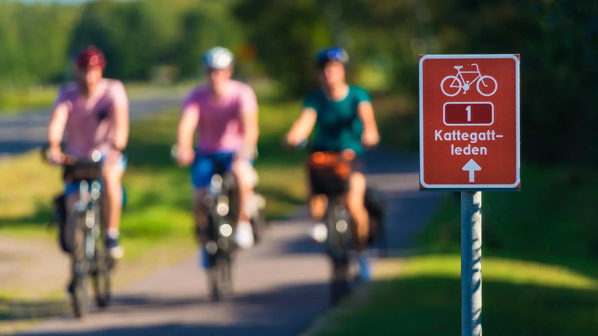
Kattegattleden – a 390 km national cycle path
-
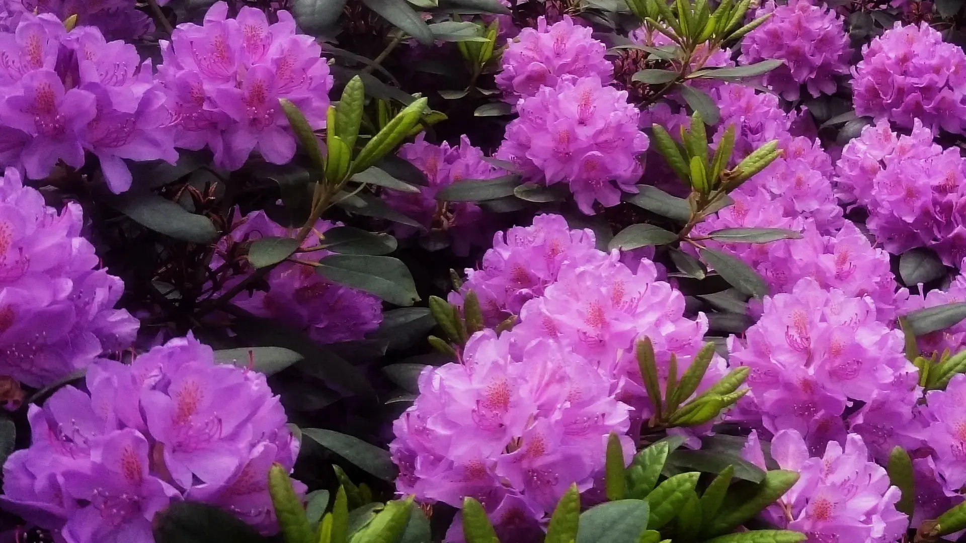
The rhododendron park
-
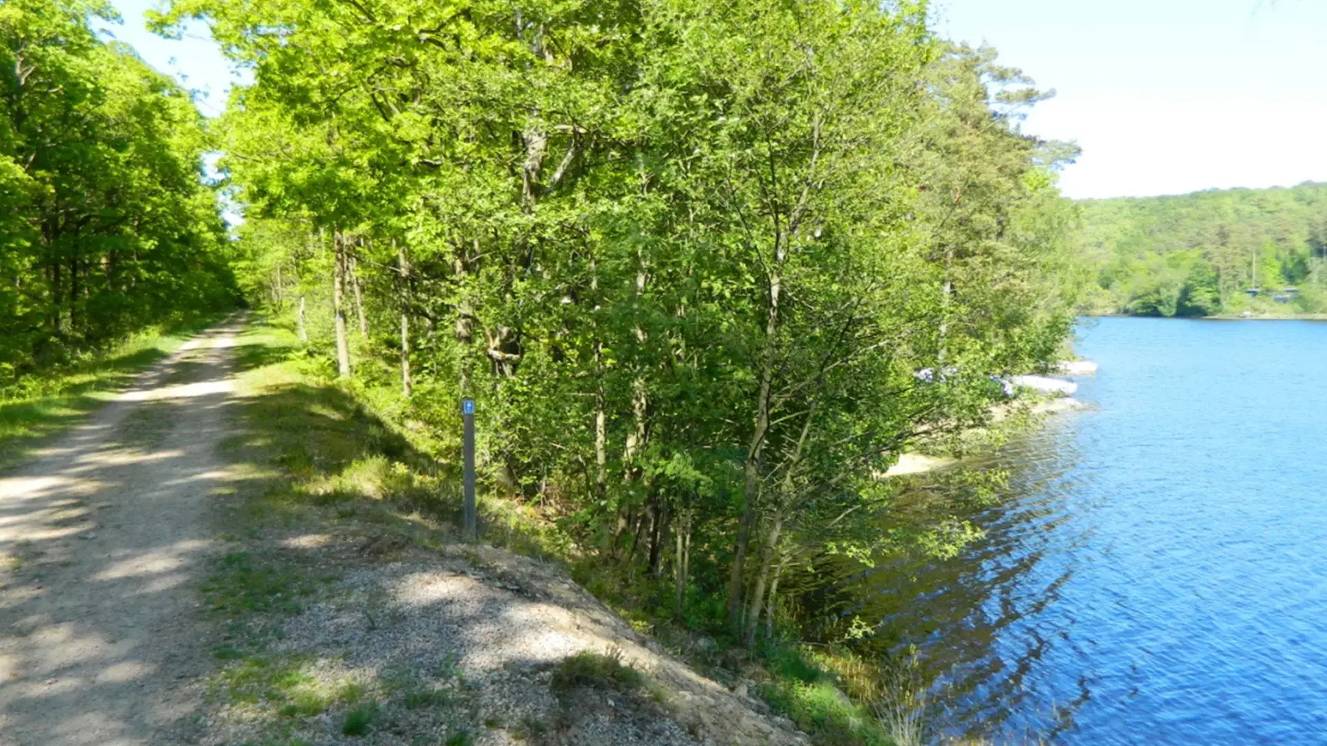
Banvallsleden – a 250 km cycle route
-
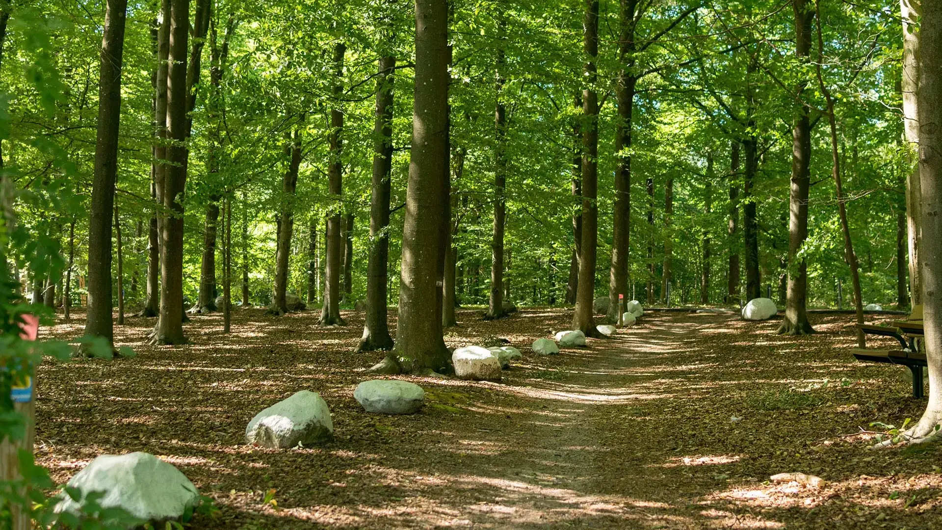
Galgberget
-
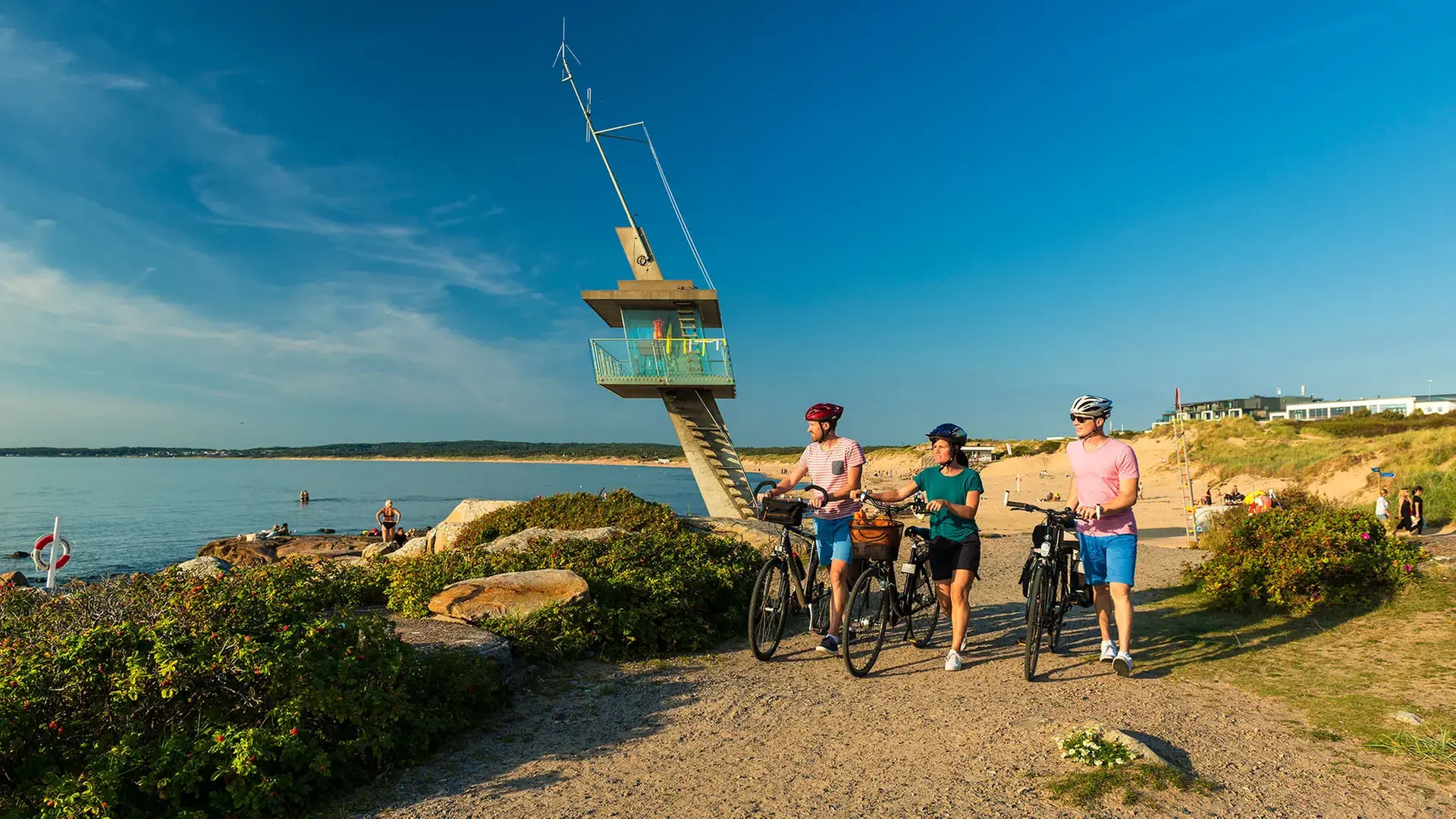
Tylösandsleden – The 25 kilometer local cycling trail
-
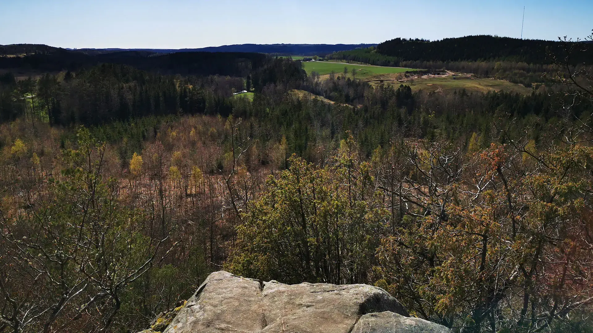
View from Virsehatt
-
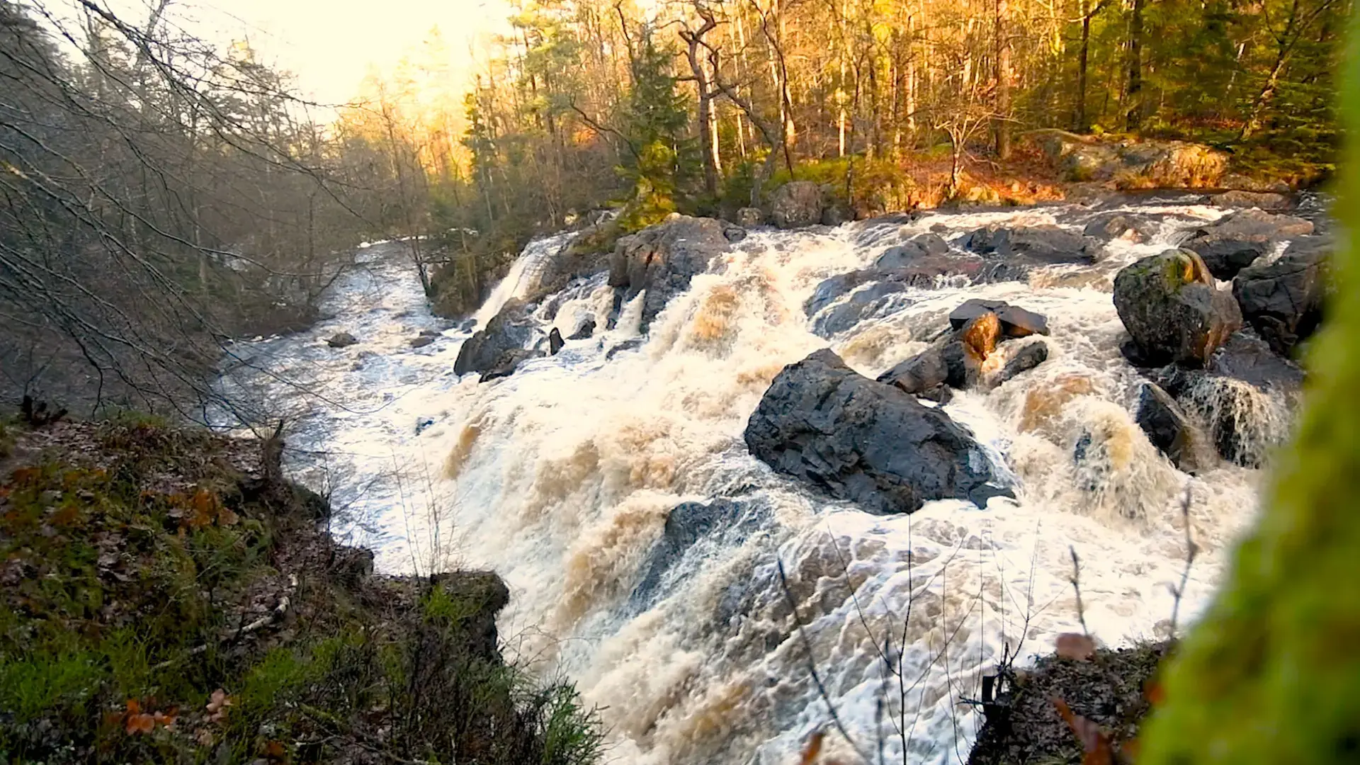
Danska Fall nature reserve
-
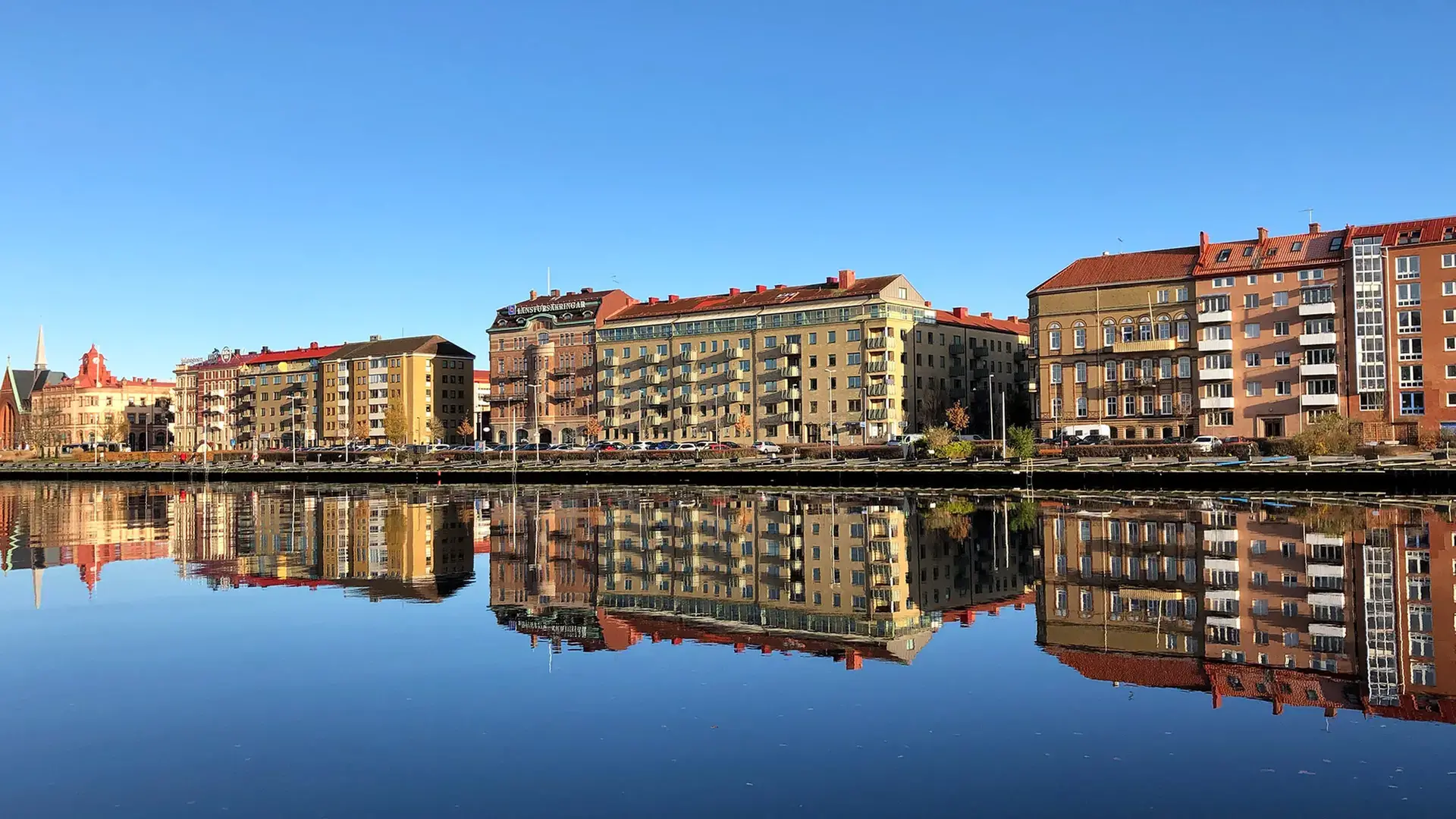
Laxaleden – The 25-km local cycling trail
More Halmstad
-
Inspiration and guides
Can I bring my dog to Halmstad? No problem!… -
Nature and the outdoor life
Ahh! The Halmstad air! Filled with the tangs… -
Beach and coast
Shimmering sea and colorful sunsets are only… -
Food and drink
Food and drink is not just food and drink.… -
Culture and history
In Halmstad we deliver both culture and history… -
Events
Theatre? Concerts? Art exhibitions? Sport?… -
Spa and wellness
Taking an invigorating dip in the sea, lacing… -
Shopping
Shopping is an experience in itself. Perhaps… -
The Swedish capital of golf
153 golf holes, eight unique resorts in a… -
Good to know
We have gathered together a few practical… -
Accommodation
Where would you like to stay? In a castle… -
Sports and activities
Do you like being active? Raising your pulse,…

