- Startsida
- Hylteleden
- En
- Plan the trip and maps
Plan the trip and maps
You can naturally choose to start and end your bike ride on the Hylteleden Trail wherever you want, but if you start in Halmstad, you will be biking on the Hylteleden Trail via Norre Katts Park, the Örjans Vall football stadium and Slottsmöllan, in the direction of Åled.
You then continue the journey through the beautiful Nissan Valley and eventually ride through the Province of Småland while still in Halland County. You will pass small communities and villages, deep forests, open pastures, and experience beautiful lake systems on your bike ride through Hylte countryside.
The last stretch before you are back in Halmstad goes via the Simlångsdalen Valley, a legendary and scenic area. There are places to eat and stay overnight, and many beautiful places to visit.
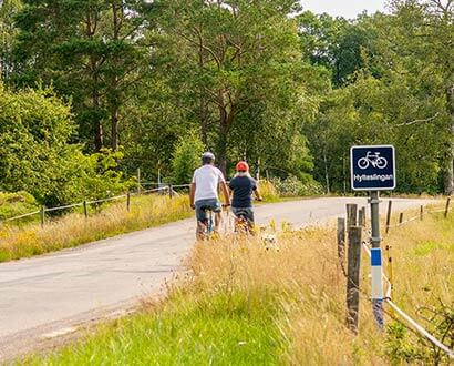
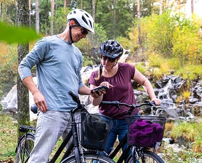
Photo: Joakim Leihed
Getting to the Hylteleden Trail
To the start of the trail in Halmstad
The Hylte Trail starts at Halmstad Castle. You can get here in several ways. Read more good ideas for your trip to Halmstad at destinationhalmstad.se. External link, opens in new window.
Train and regional bus
From Halmstad Central Station / Halmstad travel center External link, opens in new window. it is about 850 meters, about three minutes by bike or 11 minutes on foot, to the start of Hylte Trail. Several train lines such as Öresundståg, Pågatåg, Krösatåg, and SJ stop in Halmstad. Hallandstrafiken's regional buses and Flexibus also stop in Halmstad. Search for your public transport journey via Hallandstrafiken.se (swe) External link, opens in new window. or resrobot.se (swe). External link, opens in new window.
Ferry and flight
You can also travel to Halmstad with the Stena Line ferry from Grenå. External link, opens in new window. You get on or off the ferry near the Halmstad C / Travel Center. External link, opens in new window. You can also fly to Halmstad City Airport. External link, opens in new window. From the airport, just take a municipal bus to the city center.
To Hylte
Hylte is easily reached by Krösa train to Torup, Kinnared or Landeryd. Hallandstrafiken's regional buses also stop at several places in Hylte municipality. Find your public transport journey via Hallandstrafiken.se. External link, opens in new window. You can find more information about getting to Hylte on Visithylte.se. External link, opens in new window.
Connecting trails
Take a look at our map of the Hylteleden Trail to plan where to connect to the Trail. We've also collected tips on other cycling trails that connect to the Hylte Trail.
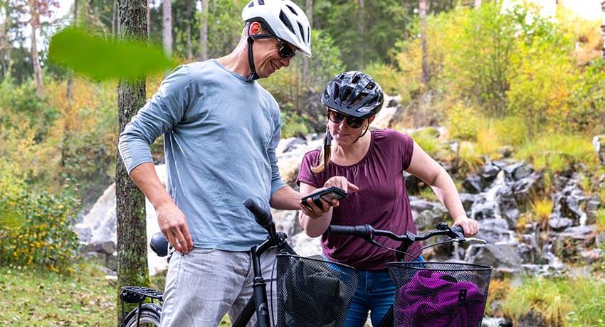
Photo: Joakim Leihed
Maps

Click on the icon in the upper right corner of the map to view the map in full screen. On the left you see various attractions, rest areas and places to visit. the map is downloaded from naturkartan.se. The map is in Swedish.
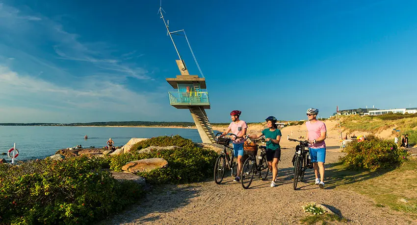
Photo: Patrik Leonardsson
Connecting cycle paths
Several cycle paths connect to the Hylteleden Trail and enable you to have an even greater experience.
Kattegattleden Trail 390 km
A cycle path from Helsingborg in the south to Gothenburg in the north. This was declared the European biking trail of the year in 2018. You can connect to this trail at Halmstad Castle in Halmstad. More about the Kattegatt Trail at kattegattleden.se. External link, opens in new window.
Bolmen Runt (Around Lake Bolmen) 111 km
Bolmen Runt is a lovely 111 km bike ride that sometimes runs close to the water and sometimes goes through deep forests. You can connect to this trail in Unnaryd. More about Bolmen runt at naturkartan.se (swe). External link, opens in new window.
Unnen Runt 50 km
This route takes you to several small cozy lakes. You can connect to this trail in Unnaryd. More about Unnen Runt on naturkartan.se (swe). External link, opens in new window.
Banvallsleden Trail 250 km
The Banvall Trail uses two disused narrow gauge train lines, Halmstad - Bolmens and Karlshamn - Vislanda - Bolmens railways. The trail is 250 km long. You connect to the Banvall Trail in Halmstad or via Bolmen runt. More about the Banvall Trail at banvallsleden.se. External link, opens in new window.
Laxaleden Trail 25 km
Discover the eastern part of Halmstad from the seat of a bicycle. You will find architectural masterpieces such as the hexagonal Snöstorp Church and Halmstad's unique City Library here. Bike along the rushing waters of the Nissan River and take a break at the beautiful sand dunes of Östra Strand. More about Laxa Trail at destinationhalmstad.se. External link, opens in new window.
Tylösandsleden Trail 25 km
Discover the western part of Halmstad with the lush beech forest of Galgberget and the vast beaches of Tylösand. Dream back in history to a huge Viking battle with hundreds of ships or sneak between Vallgatan's cozy half-timbered houses. More about the Tylösand Trail at destinationhalmstad.se. External link, opens in new window.
Släktleden Trail 80 km
The trail takes you on an 80 km long trip in the footsteps of the famous Långaryd family, one of the largest documented families in the world. The trail is not signposted, but the map shows alternative routes instead of Highway 26. The map takes you on bicycle, asphalt, and gravel roads between Halmstad, Hylte and Gislaved, which are the municipalities with the largest percentage of Långaryd relatives in Sweden. More about Släktleden Trail on hylte.se (swe). External link, opens in new window.
Lake Femsjö and Färgen Lakes Biking Trail
18km, 21km, 40km
A learning and experiential trail with fantastic nature and culture. There are three options on this trail around the Färgen Lakes. The short trail is 18 km, the middle trail is 21 km and the long one is 40 km. More about Femsjö and Färgen Lakes at femsjo.com (swe). External link, opens in new window.